
Lexington Neighbors Through Block Records
A block search can document nearby parcels and recorded title information. It cannot prove who forms a household. Begin with the focal parcel, then identify adjoining map polygons and open each corresponding property card. The County Property Search and OneMap distinguish a property's physical location from its owner's tax-contact fields. Recorded deeds provide title history. Town or County requests can add a defined permit, zoning, or administrative record. Each source has a different scope, which prevents a Lexington neighbors search from becoming an inaccurate roster.
| Block source | What it shows about the block | Access and privacy limit |
|---|---|---|
| OneMap parcels | Parcel outlines, roads, adjoining parcels, and map layers | Adjacent property is not a list of people or households. |
| County Property Search | TMS, owner record, situs and mailing fields, and parcel characteristics | Owner or mailing data does not establish occupancy. |
| Register of Deeds | Recorded party transitions, legal descriptions, and subdivision references | Free registration, online cutoffs, and no all-resident inference. |
| Town subdivision GIS | Subdivision name, developer, lot-size data, and notes | Geography only, not association membership or contacts. |
| Voter inspection or list route | Statutory registration-data access path | Use the custodian rules; it never reveals ballot choices. |
| Town or County request | A defined public permit, zoning, or administrative record | Requests must be specific and privacy exemptions can apply. |
The table shows why a physical block and a social neighborhood are different concepts. A parcel can touch another parcel even when owner, mailing, and actual household information are unrelated.
Lexington Neighbors: Owners and Households Differ
County tax guidance separates the property location from the mailing address supplied through a deed or tax-discount application. A parcel card can display TMS, owner, mailing address, property location, legal description, deed book/page, plat, land-use code, tax district, acres, value fields, and building details. OneMap carries the same distinction in separate mailing and situs attributes. A mailing field may be a correspondence destination, not a location where an owner lives.
For Lexington neighbors, that means the official record can support a careful statement such as “the recorded owner associated with this parcel.” It cannot establish every person at the property, a utility customer, a delivery recipient, a vehicle record, or a neighbor's personal contact details. The map should also not be used to imply that nearby parcels form a shared household, association, or social circle.
Map a Lexington Neighbors Block by Parcel
OneMap has the documented tools for a small, reproducible block method. Its main search accepts TMS, Address, or Road Name. Its address-point query offers Full Address contains, and its road query offers Proper Name contains. Both are case-insensitive. The viewer can search or draw a point, line, polyline, triangle, extent, circle, ellipse, polygon, or freehand shape. Results remain parcel records, even when a shape surrounds several lots.
- Search the focal address, road name, or TMS in OneMap and confirm the property location against the map.
- Click the focal parcel, record its TMS, then identify immediately adjoining parcel polygons or use a small spatial shape around the address.
- Open each neighboring TMS in County Property Search and preserve its situs, legal description, and owner-of-record fields separately.
- Use the deed book/page and legal description in the Official Records Search only when title history is relevant to the parcel.
- Use the Lexington street directory for the longer, named-street record chain rather than expanding a block search into every address on a road.
This process establishes geography first. It also makes it possible for another researcher to repeat the parcel path without claiming personal facts the official records do not show.
Lexington Neighbors and Subdivision Context
Town subdivision map attributes include NAME, DEVELOPER, NUMBER_OF_, LOT_SIZE, and Notes. The research documented examples such as Amick Heights, Barr Lake, Bent Creek, Brookhill Park, Carriage Hills, Cherokee Trail/Village, Corley Woods, Golden Hills, Hope Ferry Plantation, Hunters Ridge, Lexington Woods, Mallard Hills/Lakes, Royal Creek, Saluda Springs, Twelve Mile Ridge, Weatherstone, Wellesley, Whiteford Lakes, Willowbrooke, Woodcreek, and Woodside Farms. These names help put a parcel in a development context. They do not confirm who belongs to an association or who lives in the subdivision.
| Documented local source | What it can support | What was not verified |
|---|---|---|
| Town subdivision map service | Named subdivision, developer, lot-size, and notes attributes | Association membership, public member directory, or contact roster. |
| County subdivision guidance | How plats, covenants, and restrictions relate to a development | County management of a private covenant or association list. |
| January 2026 Royal Creek agenda reference | That Royal Creek Homeowners Association represented an annexation petition | A current public neighborhood directory or public association contact inventory. |
No official umbrella neighborhood-association directory or verified public association membership and contact inventory was located for Lexington. A neighborhood organization, congregation, or block group controls any roster it elects to publish. Do not infer a member list from a subdivision polygon or a recorded restriction.
Lexington Neighbors and Recorded Restrictions
When a neighboring-parcel question turns on a subdivision restriction, use the legal-record route, not an informal association claim. The County says covenants and restrictions are usually recorded at the Register of Deeds and privately enforced; the County does not require them. Start with the subdivision name, locate the ROD restrictions index, then use its book/page reference to locate the record.
A restriction can provide title or subdivision context. It does not confirm a current committee, a public contact list, an owner's actual household, or a neighbor's personal data. The current Official Records Search is free after registration. Online data begins August 1, 1984 and images begin January 1, 1997, so an earlier instrument needs a counter inquiry instead of an assumed online copy.
Note: A recorded covenant may explain a parcel's legal context, but its existence does not create a verified Lexington neighborhood roster.
Lexington Neighbors and Voter Access Rules
South Carolina separates voter self-service from broader public inspection. MySCVotes requires County, First Name, Last Name, Date of Birth, and the last four of a Social Security number. It is an identity-authenticated channel for the voter, not a public block-browse tool. No public result screen was inspected, so no unverified result fields are claimed.
Under S.C. Code §7-5-410, a citizen may inspect official registration records through the county board or clerk, while Social Security numbers are not public. The Lexington County Board of Voter Registration and Elections is the local custodian for an in-person inspection request or a current district-data question. State list sales have a restricted purchaser channel and filters such as county, voting district, household, and participation, but the research did not verify a ZIP filter. Registration or participation never reveals how someone voted.
Lexington Neighbors Need the Right Map
Town boundary, ZIP routing, and subdivision names are three distinct maps. County Addressing assigns unincorporated addresses, while municipalities assign addresses inside their limits. The Town's GIS and annexation resources handle municipal geography. USPS handles the postal check. OneMap handles the parcel. Switching among those sources is more precise than assuming a Lexington postal label settles the question.
The Town's planning material also names downtown/Main Street from Old Mill to Sunset Boulevard and refers to historic Triangle and original-town boundaries. Those are useful place descriptions when reading historic material. They are not proof of a current parcel boundary or neighborhood membership.
The Town's Guiding Principles document is shown in this Lexington neighbors image.
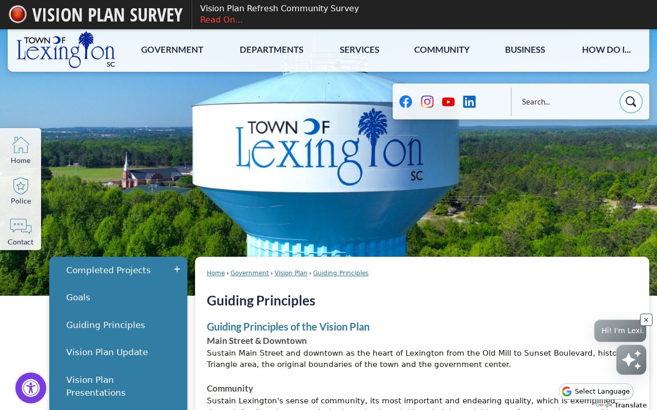
The planning document supplies local place context while the County map supplies the parcel-level check.
Lexington Neighbors in Community History
Community context can add texture without exposing personal address data. Lexington Main's digital photograph collection includes Richard Taylor Lexington County images from about 1940 to 1976. Its subjects include churches, structures, New Brookland, Guignard brickworks, Red Bank Village, and community events. It is a local-history resource, not an address directory or a way to identify a living person's location.
The library digital photograph collection appears in this Lexington neighbors image.
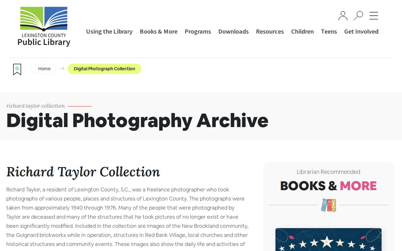
Photographs can help distinguish a community era or landmark, but parcel records remain the evidence for land and title questions.
The Lexington County Museum events page is shown in this Lexington neighbors image.
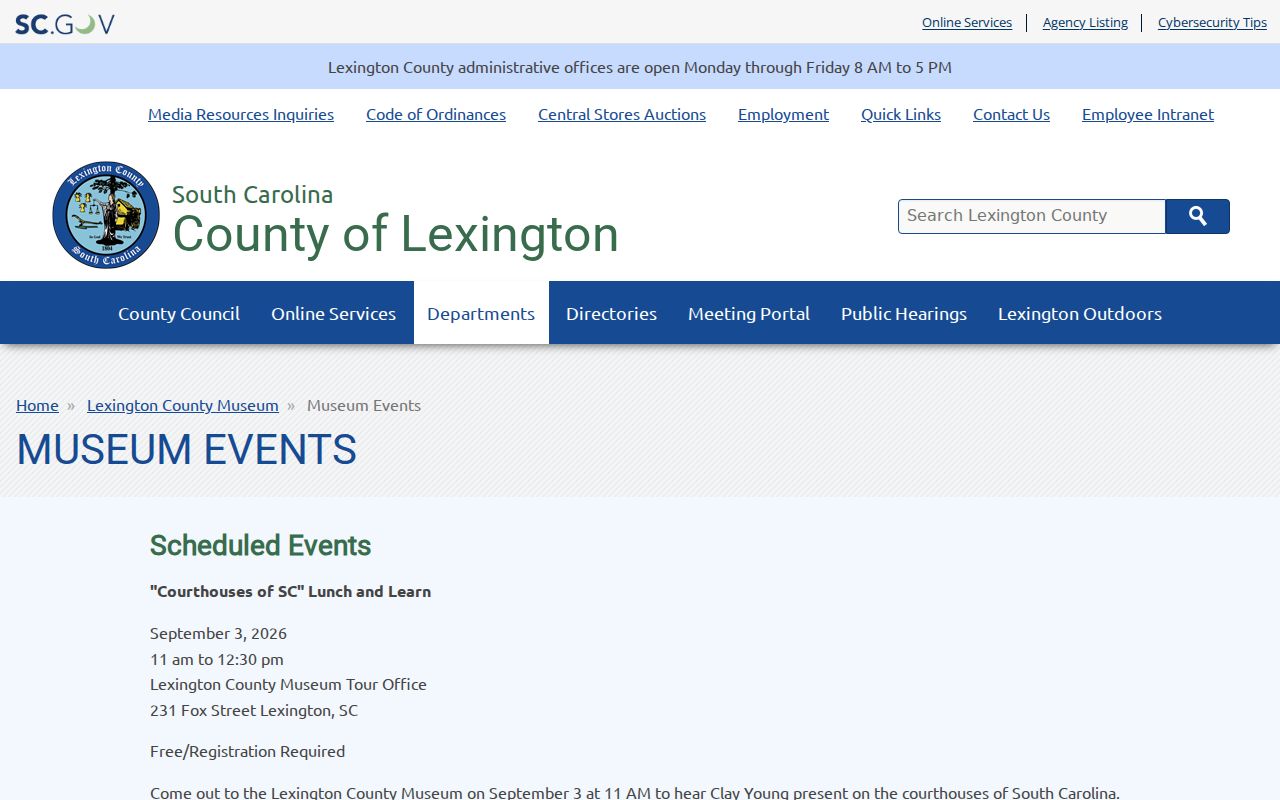
The Museum's historic-research and education events offer built-environment context, not a public directory of people in a neighborhood.
Privacy Limits for Lexington Neighbors
Official parcel data and commercial neighbor tools are not interchangeable. An official source has a named custodian, identifiable record type, and stated access limit. A commercial category may be incomplete, may mix mailing and physical addresses, and does not replace the source record. Neither category proves a household simply because it displays a name beside an address.
| Source category | Best use | Critical limit |
|---|---|---|
| Official parcel, title, and map records | Check land, TMS, legal description, recorded owner, or parcel geometry | Do not establish every occupant or personal contact. |
| Commercial neighbor-search category | Use with caution only as a lead to verify with a custodian | May be inaccurate, stale, or unclear about its source and scope. |
South Carolina's Family Privacy Protection Act limits commercial solicitation using personal information obtained from public bodies. Eligible current or former law-enforcement personnel and judges may have targeted online-display protections under Title 30, Chapter 2, effective January 1, 2026. An incomplete online display requires a custodian check, not an attempt to reconstruct restricted information.