
Lexington Previous Residents by Era
Different sources answer different parts of a Lexington address history. The Register of Deeds gives a recorded-instrument path, while the property record supplies the current locator and legal description. The library can supply printed directories, newspaper microfilm, obituaries, and released census access. State Plats and State Archives holdings become especially important when the address trail reaches the nineteenth century. None of these sources independently establishes a complete list of former occupants.
| Source | Years | Where Held | What It Shows |
|---|---|---|---|
| ROD web data | August 1, 1984–current | Official Records Search, free registration | Recorded-index path after the online data cutoff |
| ROD web images | January 1, 1997–current | Official Records Search, free registration | View and print record images after the image cutoff |
| County property and assessment routes | Current and historical tax-system routes; earliest online year not verified | Property Search and Assessor | TMS, owner of record, mailing and situs fields, value, sale or deed reference |
| State Plats | 1784–1868 | SCDAH online collection | Land-grant place context, recipient, and sometimes adjoining owners |
| Lexington Dispatch-News obituary index | 1873–2001, except February 24, 1944–October 4, 1962 | Library index and microfilm | Death-notice lead tied to a named newspaper issue |
| Released federal census | Released on a 72-year schedule | Library and established genealogy access | Household at the census date, not current residency |
Start in the era that fits the question. A recent deed question belongs with the property record and ROD index. An earlier land question may require the ROD counter, State Archives conveyance books, or State Plats. A household question needs a dated directory, newspaper, or census source in addition to title records.
Start Lexington Past Residents with TMS
The County Property Search is the modern starting point for an older Lexington address. Save the address exactly as shown, the Tax Map Number or TMS, property location, legal description, owner of record, and any sale or deed reference. A TMS is the county’s ten-digit property identifier. The legal description identifies the land through a lot, block, subdivision, plat, or metes-and-bounds wording. It travels through an older title chain more reliably than a present street number.
The county distinguishes the situs or property location from a mailing address. Tax notices go to the owner’s address on file, which can be a correspondence destination. It is not proof that the owner, every past resident, or any particular household occupied the parcel. Use each field with the label that the property record supplies, then compare it with the deed’s legal description before following an earlier link.
- Grantor and grantee
- The grantor transfers an interest in a recorded instrument. The grantee receives that interest. Their roles identify a transaction, not a full household.
- Chain of title
- The succession of recorded ownership instruments connected by the same land description or cited prior record.
- Legal description
- The land identifier in a deed or plat. It can use a subdivision lot, plat reference, or metes-and-bounds wording and is more stable than an address label.
- Enumeration district
- The geographic area used to organize a federal census. It helps place a census household in its own census date and location.
The Lexington County Property Tax–Data Search is the official entry route for the current property card and related deed or sales references.
The Lexington County Public Library genealogy guide provides the related local-history research route shown here.

Once the parcel facts are recorded, the library genealogy resources can help supply the dated materials that ownership records do not show. Keep every result separate by source and date.
Lexington Previous Residents and ROD Cutoffs
The Lexington County Official Records Search requires free registration to search, view, and print. The county reports online data from August 1, 1984 forward and online images from January 1, 1997 forward. The current account gate means a live filter list was not verified, so do not rely on old guest-workflow instructions that still circulate in a County-linked PDF. The documented routes include individual or firm name, book and page, legal description, and instrument or date narrowing after sign-in.
These dates are a comparison point, not the beginning of County land records. A record before the web cutoffs may require the Register of Deeds counter and its books or indexes. The ROD office is at 212 S. Lake Drive, Suite 301, Lexington; phone (803) 785-8168 or (803) 785-8307; e-mail lcrod@lexingtoncounty.sc.gov. County information reports 50¢ office copies, while certification and other fees should be confirmed with the office before ordering.
Follow Lexington Previous Residents Through Deeds
A deed trail follows land, not a modern mailing label. Begin with the property card’s legal description and current sale or deed reference. The purchase instrument names the recorded parties and gives a book, page, document, or legal-description route to test. Use the seller as the next historical search subject only after comparing the land description. A changed subdivision, street name, street number, or plat can make an address-only search point at the wrong property.
- Open the current property card and retain the TMS, legal description, property location, owner-of-record field, and deed or sale reference.
- Use the ROD account to locate the purchase instrument by its cited book and page, document number, party, or legal description.
- Record the grantor, grantee, recording date, instrument type, and the exact legal description. Compare those facts to the property card.
- Search the prior party as grantee, or use the prior citation in the instrument, to locate the earlier purchase record for the same land.
- When the online data or image period ends, ask the ROD counter how the earlier books and indexes continue. Add newspapers, census, plats, or surveys only as date-specific context.
This process can identify recorded ownership transitions. It cannot establish who lived at the address during every ownership period, and it does not make an ownership or mailing field a roster of Lexington previous residents.
Lexington Previous Residents Before 1839
February 1865 created a real break in Lexington County research. Advancing federal troops destroyed pre-1839 Clerk of Court records, including deeds and virtually all probate records. The State Archives guide therefore says there are no county conveyances before 1839. A prewar title or inheritance trail cannot be promised as continuous, even where a modern property seems old.
The documented archive alternatives include conveyance books for 1839–1916, mortgage books for 1872–1907, plat books for 1906–1960, Commissioner of Locations material for 1840–1871, and tax or assessment records. For the earlier land layer, the State Plats collection covers 1784–1868. Search a full name in last-name, first-name order and use exact spelling, place, watercourse, and date when available. A plat may show a recipient, location, adjoining owner, deputy surveyor, waterway, or road.
The SCDAH State Plats search instructions describe this Lexington-specific bridge across the deed loss.
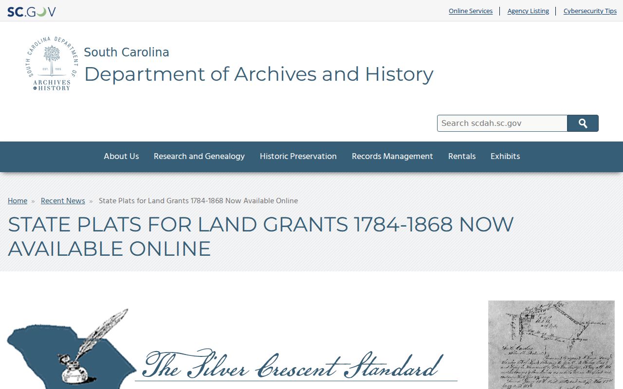
A State Plat can provide historic land and neighboring-owner context. It does not prove a modern parcel boundary, a current address, or a person’s residence.
Pair Lexington Past Residents with Census
Recorded owners are only one layer of a past-address question. The Lexington Main collection supplies city-directory holdings, historic newspapers, obituaries, census material, maps, and family-history sources. Use the property and deed timeline to select a date, confirm the relevant physical directory year in the catalog, and then test a printed finding against the nearest released federal census. Each source must keep its own date because a person can appear in one and not another for ordinary reasons that the record does not explain.
- Choose a property or deed date and identify the closest cataloged Lexington directory year.
- Ask the South Carolina Room for the physical reference volume and inspect the edition’s own key before recording an entry.
- Locate the nearest released census schedule through the library or another established genealogy access route.
- Compare names, address or place clues, and dates without treating a match as automatic identity proof.
- Use a dated newspaper or obituary lead to find the next record, then return to the custodian if a conflict remains.
The local Lexington city directory collections list the physical runs and cataloged gaps. They should be used as a checked shelf source, not recast as an unverified reverse directory or a universal record of occupants.
Lexington Previous Residents in Newspapers
The Lexington Library Obituary Index closes some historical trails when a surname, nickname, or year is known. Last Name is required. First Name or Nickname and Year of Death are optional, and the search supports a browse-by-year route. A returned item can provide full name, birth and death details, age or place, a source code, publication date, and page. Those fields lead to a newspaper issue or microfilm; they do not independently prove every detail of a family or address history.
The index has a precise limitation that must remain visible: Dispatch-News coverage runs 1873–2001 except February 24, 1944 through October 4, 1962. For that interval, ask Lexington Main about the underlying newspaper rather than treating an empty index search as a negative historical result. Historic Newspapers of South Carolina also supplies the library’s documented online title runs for the Dispatch and related papers.
The Lexington obituary index is the public surname-and-year route for the newspaper lead.
Newspaper and obituary facts should be attached to their cited issue and date. They can add a historic name or place to an address trail, but they do not replace the deed, plat, census, or archive record.
Lexington Past Residents and Historic Property
Historic-property tools add context to an address trail, not proof of previous residents. SCDAH directs researchers to search Lexington County first in the South Carolina Historic Properties Record, then filter by city, century, decade, construction year, and survey date. ArchSite’s free maps include National Register listings, post-1990 evaluated above-ground properties, and selected countywide survey data. Coverage is in progress, and the research does not support an all-address guarantee.
The South Carolina Historic Properties Record offers the historic-property search itself.
Use a historic-property result to identify a report, survey, or construction context to verify. It does not establish ownership, occupancy, or a complete history by itself.
The SCDAH county-to-city historic-property instructions illustrate the Lexington County filtering route.
The county-to-city approach narrows a historical geography. It still does not establish a resident, owner, or complete address history without the underlying record.
The SCDAH ArchSite map is the free map route for the documented historic-property layers.
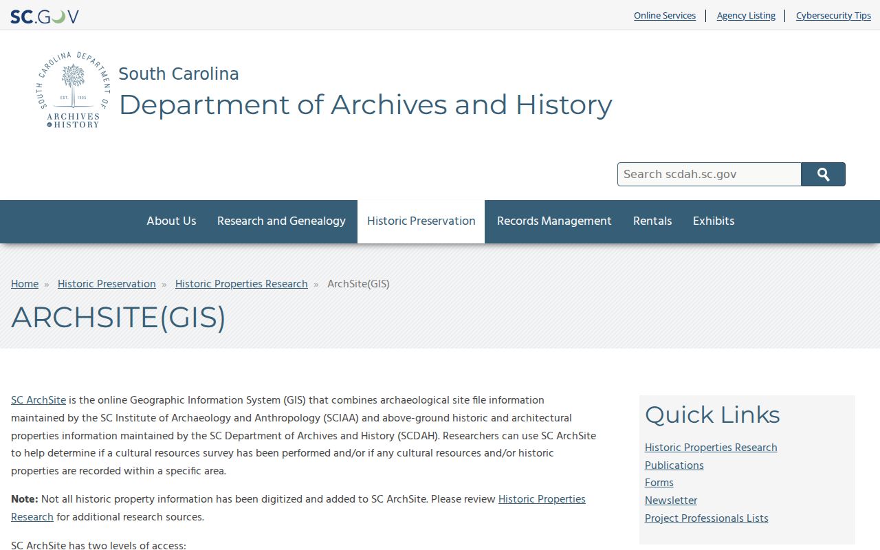
The map can help locate a documented historic resource. Cross-check any name, date, or parcel conclusion with the record series that actually supplies it.
Lexington Previous Residents Address Limits
Address continuity needs caution. Lexington County GIS was computerized in 1988, but a digital map does not make all earlier address labels equivalent to today’s map. The research found no verified historic street-renumbering or street-renaming date. When a number, street name, or municipal boundary looks inconsistent, request the specific Town or County addressing history rather than forcing an apparent match. Compare the legal description and plat before moving a record from one address label to another.
The Lexington County Museum’s historic-home research material and SCDAH surveys may add architectural or community context. They are not resident records. Use records for family history, estate or heir work, or personal property history, and do not use any result to harass, threaten, stalk, or harm a living person.