
Trace a Lexington Street Directory by Address
Use an address to establish a repeatable land-record trail. Lexington County Property Search accepts a property location, owner, tax map number, or deed book and page. A street result identifies parcels and recorded owners, rather than a household roster. That distinction matters when a property is held in a trust or has a different tax-contact address. Record the displayed property location, TMS, legal description, owner of record, and deed reference before moving to the map or deed index.
- Search the street or property location in County Property Search, then open the matching result rather than assuming the first similar address is correct.
- Save the TMS, the county's ten-digit parcel identifier, together with the legal description and property location.
- Use Show Map or Lexington County GIS to check the parcel outline and its street frontage.
- Follow the deed book/page or legal description through the free-registration Official Records Search, reading each grantor and grantee role.
- For a historic household question, ask Lexington Main's South Carolina Room for the appropriate directory, newspaper, map, or census material instead of treating the modern parcel card as a past resident list.
The workflow makes the street directory useful for land and address research. It does not turn an owner field into a statement about relatives or other occupants.
Lexington Street Directory Property Routes
The County Property Search is the most detailed published starting point for a Lexington street directory query. The current application offers Property Information, Mobile Home Information, Assessment Notice, Sales/Deed Information, and Tax Info routes. Its results include tax year, TMS or mobile-home decal, owner, location, use, acres, deed, and sale date. Results can be exported as CSV, but a whole-street export remains a collection of parcel records. It should not be described as a list of residents.
| Property Search field | Input | How Lexington documents it |
|---|---|---|
| Tax Year | Text or number | Provides a historic or current tax-year route. |
| Tax Map | Text | Accepts four to six digits with optional hyphen groups. |
| Property Owner | Autocomplete text | Use Last Name, First Name or Business Name. |
| Property Location | Text | Use the address or street field. |
| Deed Book and Page | Paired text fields | Both fields are needed for this route. |
| Min. Acres and Max. Acres | Number pair | The minimum cannot exceed the maximum. |
| Land Use | Selector | The current accessible inspection did not expose its option list. |
| Sort By | Selector | Owner Name, TMS, or Tax Year. |
The Lexington County Assessor maintains ownership and tax mapping records, and completed a countywide reassessment in 2025. Its office has Assessment Records, Mapping, Reassessment, and Maintenance/Mobile Homes functions. For a card that is unclear online, the Assessor is at 212 South Lake Drive, Suite 201, Lexington, and lists (803) 785-8190 as its phone route.
The County Assessor page is shown in this Lexington street directory image.
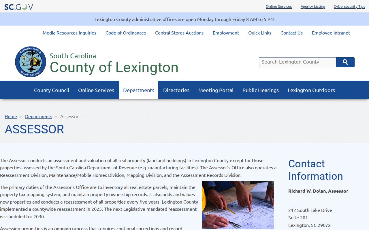
The Assessor's ownership and mapping role explains why the card is the first record to compare with a street location.
Note: A card can identify land and a recorded owner, but it cannot establish every current occupant at the Lexington address.
Map Lexington Streets Through OneMap
OneMap supplies the spatial check that a text result cannot. Its main search placeholder reads “TMS, Address, Road Name,” and its suggestions are configured at ten. The map has parcel, historic-parcel, subdivision, tax-map-label, planning/zoning, tax-district, road, water/sewer, building-footprint, and address-point layers. Its address-point query uses Full Address contains, while its road query uses Proper Name contains. Both are case-insensitive.
After locating the focal parcel, click or identify it, then compare its TMS with the property card. OneMap supports sketches such as point, line, polygon, circle, extent, and freehand shapes, with export enabled in the query workflow. Those tools can isolate a street segment or nearby parcels. They do not identify a social group or prove occupancy.
- Parcel
- A mapped piece of land tied to a TMS and property record.
- Situs address
- The physical property location, which can differ from the owner's correspondence address.
- Plat
- A recorded map that describes lots, boundaries, or a subdivision.
- Criss-cross directory
- A reverse address arrangement, if a particular library volume actually contains one; no Lexington volume layout was verified without opening it.
The County GIS gateway is pictured in this Lexington street directory image.
Use the gateway to reach the viewer, then return to the TMS card when the map shows several similar parcels.
Follow Lexington Street Deed Records
The recorded-instrument step connects a street location to title history. From the property card, use the deed book/page, sale/deed reference, current owner, and legal description to locate the purchase instrument. The Lexington County Register of Deeds holds land records. Its current online service requires free registration before a user may search, view, or print. County information reports online data from August 1, 1984 to the present and online images from January 1, 1997 to the present.
For each instrument, identify the grantor, the party transferring an interest, and the grantee, the party receiving it. Then compare the legal description and plat reference before making the prior party the next search subject. A chain follows the land description, not just a modern street number. A lot, subdivision, or address can change while the legal description preserves the better match. Earlier steps require a Register of Deeds counter inquiry rather than an assumed online image.
The Official Records Search registration screen is shown in this Lexington street directory image.
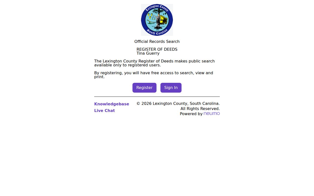
Registration is free, but the live search filters were behind the account gate during research, so no unverified dropdowns are presented here.
Lexington Street Addresses Need Jurisdiction Checks
A Lexington mailing name and a Lexington street directory result do not decide which government assigned the address. County Addressing assigns new addresses in unincorporated Lexington County. Each municipality assigns addresses inside its own boundaries. County Planning/GIS maintains the 911 database and maps at 212 South Lake Drive, Suite 302, with (803) 785-1454 listed for the office.
For a Town address, compare the parcel against Town GIS Mapping and annexation resources. A postal label and ZIP do not establish Town jurisdiction. The county reports that GIS moved from paper mapping to computerized GIS in 1988, but research found no verified historic street renumbering or renaming date. A record request to the Town or County is more accurate than inventing continuity from a familiar street name.
The County Addressing information page is shown in this Lexington street directory image.
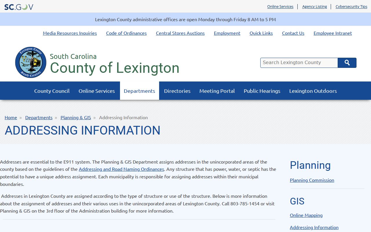
The assigned-address rule helps separate municipal records from county records before a request is sent.
Lexington Street Directory Record Layers
Address-keyed sources answer different questions. The property card locates land and its owner of record. The GIS viewer supplies parcel geography. A deed is evidence of a recorded transaction. Town permit, code, or zoning files can document a dated project when requested precisely. Voter registration has separate access rules and should not be treated as a public browse tool. The coverage below keeps those limits visible while a Lexington street directory search moves from one source to the next.
| Address record | Lexington custodian | What it can establish | Access route |
|---|---|---|---|
| Property or tax card | Assessor and Auditor | Owner, TMS, situs, mailing field, legal description, values | Property Search, phone, or office |
| Parcel map | County GIS | Parcel shape, road context, adjacent parcels | GIS or OneMap viewer |
| Deed or plat | Register of Deeds | Party roles, recording placement, date, legal description | Free account or office counter |
| Tax bill path | Treasurer | Tax district, billing path, TMS context | Tax records or counter |
| Permit, code, or zoning file | Town Planning and Building | Dated address and project information | Defined request or Town FOIA |
| Registration record | County elections office | Statutory inspection route, subject to limits | Ask the custodian about inspection rules |
The Treasurer's real-estate tax page appears in this Lexington street directory image.
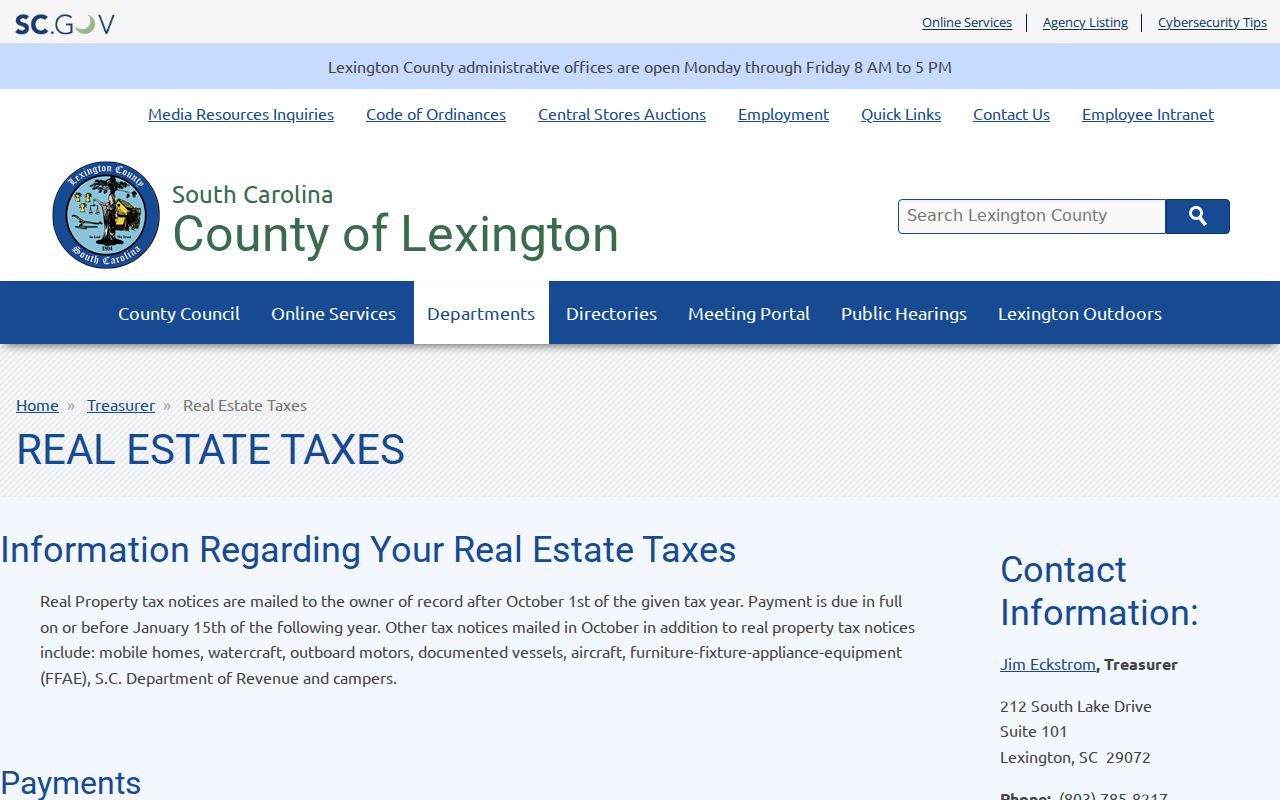
The Treasurer explains that owner-of-record notices use the address on file, reinforcing the need to label mailing and property fields separately.
Lexington Mailing Fields Are Not Residents
The property card's field inventory is detailed, but it has a firm boundary. It can include TMS, tax year, owner, address, propertyAddress, legal description, deed book/page, plat, land-use code, tax district, acres, values, living area, year built, rooms, and update information. The application can return both address and propertyAddress. County tax guidance identifies owner mailing information as a tax-contact field, while the property location is the situs field.
That means the card may show a correspondence destination that is nowhere near the parcel. It does not prove that an owner occupies the property, and it does not list relatives, utility users, delivery recipients, or every person in a structure. The county's property scale is substantial, but the Assessor's figures of 137,851 parcels, 15,903 deeds processed, and 19,944 registered mobile homes are expressly based on 2021 tax-year data, not a current population list.
Note: Compare TMS, property location, and legal description before drawing any conclusion from an owner or mailing-address field.
Request Dated Lexington Address Files
When an address question is about an improvement, permit, zoning, code matter, or municipal administration, request the defined record from the proper custodian. Town Planning and Building uses Location Review and permit processes. The Town's current FOIA channels can route a narrowly described request by Building Code, Zoning, Utilities, Transportation, or another stated category. Provide the address or parcel, a date range, and a permit or project reference when known.
This route can add a date or project fact to an address timeline. It is not a substitute for the property record and it does not create an occupant roster. Town administrative records may be public, restricted, or subject to a privacy exemption. The Town FOIA portal moved to a new management system on June 10, 2025, while county-held administrative records can be sought with a focused County FOIA request.
Older Lexington Street Questions Need Archives
A modern parcel or online deed search has a clear date limit. The Register of Deeds web data begins in 1984 and images begin in 1997. For an earlier land trail, contact the ROD at 212 South Lake Drive, Suite 301, or use its stated phone and email channels to ask how to continue in books and indexes. The County reports 50-cent office copies, while certification and recording costs should be verified before ordering.
The longer historical path also has a major Lexington County break. Federal troops destroyed pre-1839 Clerk of Court records in February 1865, including deeds and most probate records. State Archives material includes conveyance books from 1839 to 1916, mortgage books from 1872 to 1907, and plat books from 1906 to 1960. State Plats, available online for 1784 to 1868, can preserve a recipient, place, adjoining owner, road, or waterway when an early deed chain fails. It is a land-grant context source, not proof of a modern address.
For old local names and printed material, Lexington Main's South Carolina Room has maps, newspapers, census materials, historical papers, photographs, and noncirculating reference holdings. The Lexington city directories collection is the more focused route for the library's documented directory shelf.
Limits of a Lexington Street Directory
A Lexington street directory can document parcels, owners of record, legal descriptions, deed parties, map geography, and defined address records. It cannot establish a household, utility account, delivery information, DMV address, or a protected online display. MySCVotes is identity-authenticated, and South Carolina's voter inspection and list rules are different from a stranger-name search. Property ownership and voter registration should never be combined to create a claimed household list.
South Carolina's Family Privacy Protection Act restricts commercial solicitation using personal information obtained from public bodies. Targeted online-display protections for eligible current or former law-enforcement personnel and judges took effect January 1, 2026. A record may require a direct custodian check if an online display appears incomplete. The rules protect access boundaries without erasing every underlying official record.