
Lexington ZIP Code Directory Roles
Three ZIP roles are verified for Lexington, but the research does not support drawing neighborhood lines around them. ZIP 29072 appears with Town Hall, county administration, and Lexington Main Library addresses. ZIP 29073 is the address of the Lexington Post Office and represents a local postal-routing presence. ZIP 29071 is verified for the Town Court's P.O. Box 397 mailing address. The Lexington ZIP code directory should preserve those limits instead of turning the entries into claims about full street coverage.
| ZIP | Areas covered | Post office | Notes |
|---|---|---|---|
| 29072 | Verified Town, county-administration, and Lexington Main Library address use | No specific facility role verified in the research | Central Town/address use, not a Town-boundary definition. |
| 29073 | Lexington postal-facility and local routing presence | Lexington Post Office, 1830 S. Lake Dr. | The “Lexington” postal label can extend beyond Town limits. |
| 29071 | Verified P.O.-box and mailing use | No general delivery area verified | Town Court mailing address uses this ZIP; it does not prove general street coverage. |
USPS's 2025 routing reference groups 29072 and 29073 under Lexington, SC 29072. That relationship is useful context, not a parcel-by-parcel postal map. No official postal-boundary map, ZIP split history, or complete Town ZIP inventory was located, so a particular delivery address still needs an address-level USPS check.
The Lexington Post Office listing is shown in this Lexington ZIP code directory image.
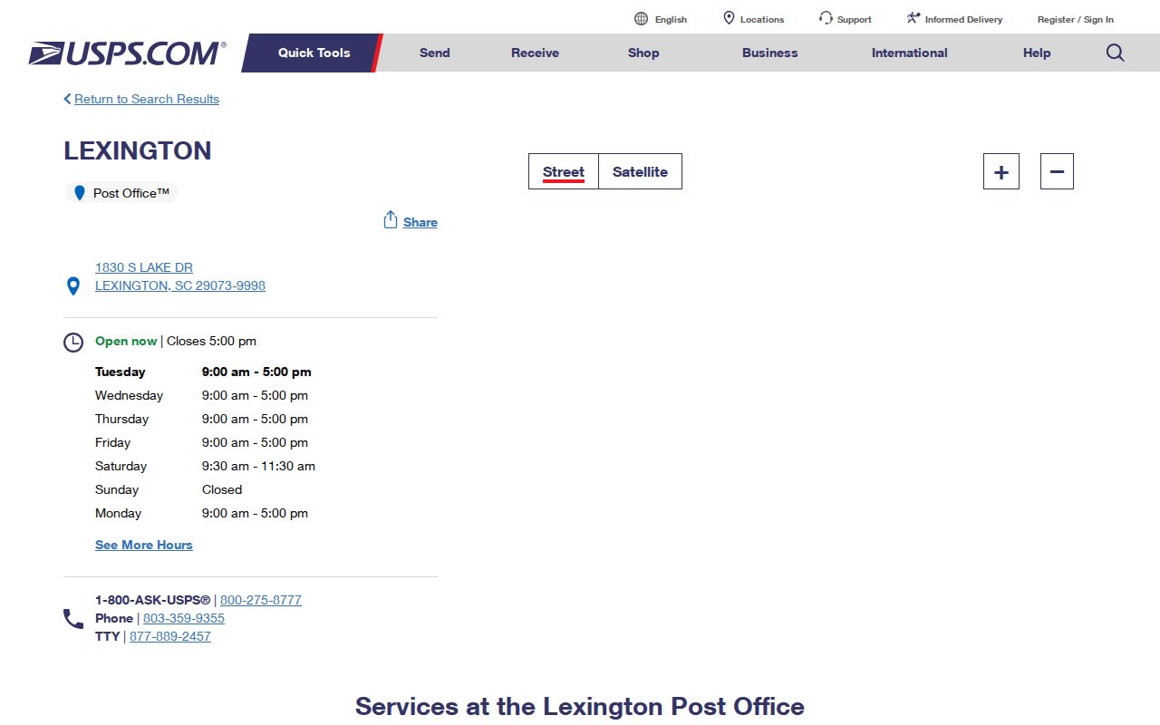
The postal facility confirms a 29073 role without turning that ZIP into a municipal-boundary line.
Verify a Lexington ZIP Code First
USPS ZIP Lookup has two documented routes. By City and State requires a city and state. By Address requires the street address. The address route is the better choice when a record search depends on the actual delivery location. USPS makes an important limit clear: a ZIP result does not confirm that a person or organization is at the address.
| USPS route | What to provide | What the result can do |
|---|---|---|
| By City and State | City and state | Provides postal lookup context for a place name. |
| By Address | Street address | Checks the ZIP associated with the delivery address. |
Do not use a broad city result to settle a parcel question. A property may carry a Lexington postal name yet be outside the Town, and a postal result says nothing about its owner or occupants. For that next question, move to the Town's annexation information and the county parcel tools.
The USPS city and address ZIP Lookup appears in this Lexington ZIP code directory image.
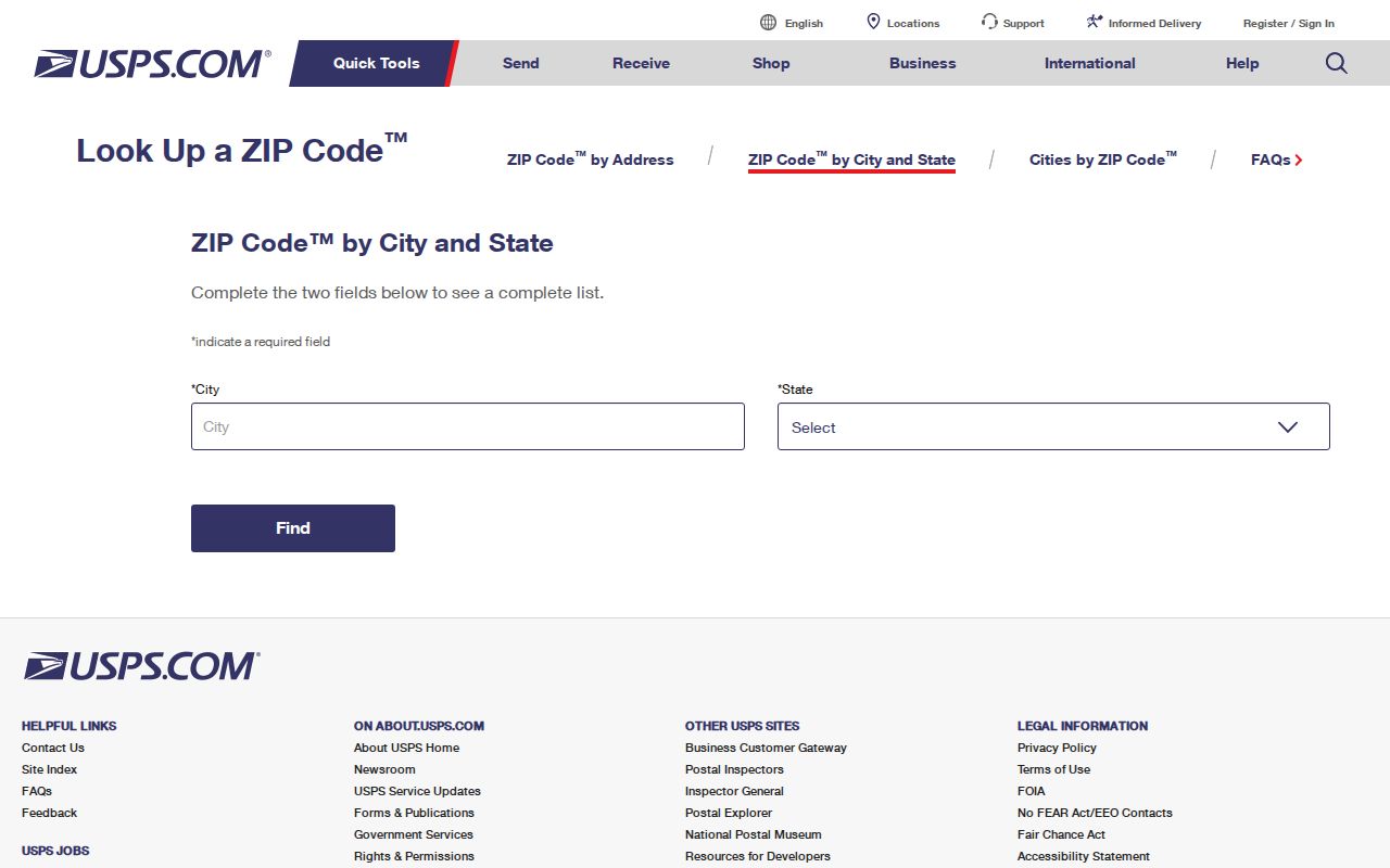
The two-route design is why a street-address verification is more precise than a city-name assumption.
Note: A confirmed ZIP is a postal fact, not evidence that a named person or organization is at that address.
Lexington ZIP Code Boundaries and Town Limits
Lexington uses overlapping postal, county-addressing, and municipal systems. County Addressing assigns new addresses in unincorporated Lexington County, while each municipality assigns addresses within its limits. The Town's GIS and annexation material is the proper next source for the jurisdiction question. A “Lexington” postal name and a 29072 or 29073 ZIP cannot establish that a parcel is inside Town limits.
Town GIS Mapping is shown in this Lexington ZIP code directory image.
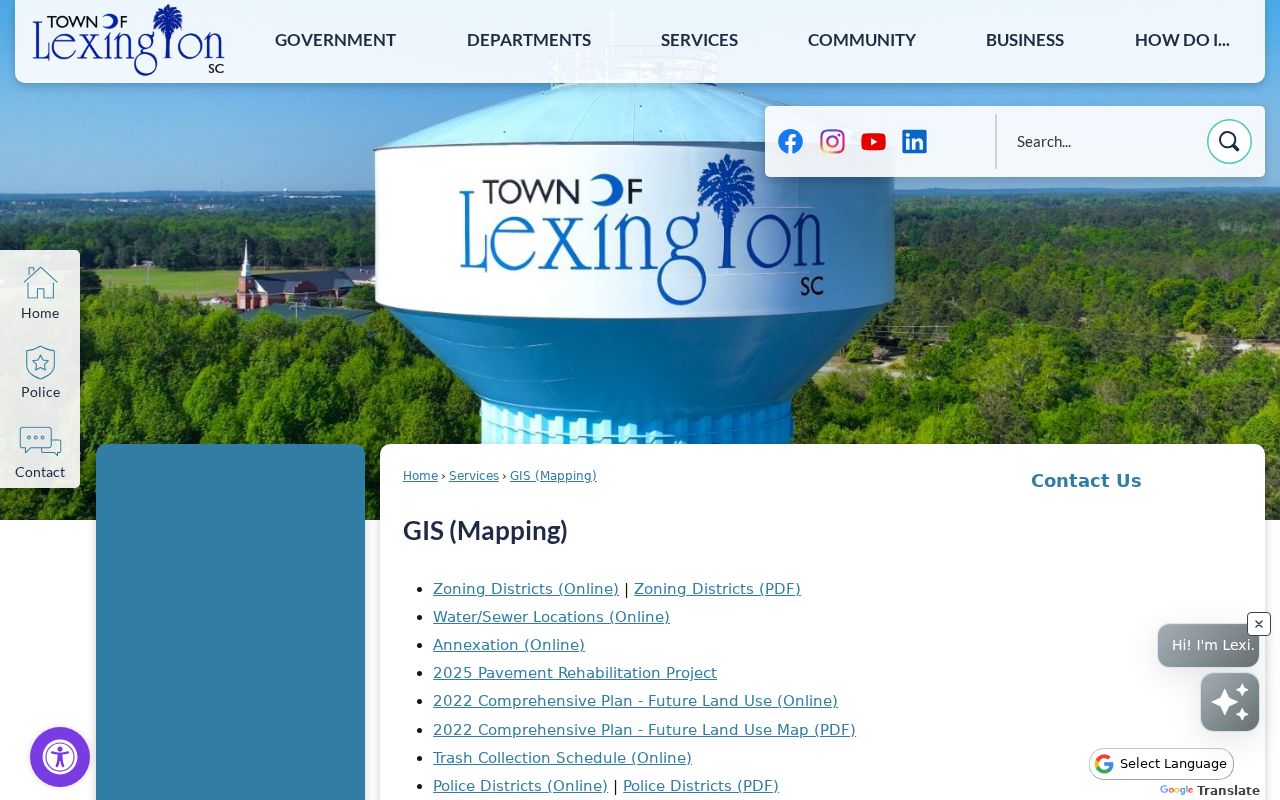
Town maps provide the municipal-context check that a postal lookup cannot supply.
- ZIP and ZIP+4
- A ZIP identifies postal routing, while ZIP+4 adds a more specific delivery segment. Neither one is a legal parcel description.
- P.O.-box ZIP
- A ZIP used for a post-office box or mailing route, such as the verified 29071 Court mailing use, does not prove general street coverage.
- Unique ZIP
- A ZIP assigned to one organization or special postal use. No Lexington example was verified here.
- Carrier route
- A delivery sequence used for mail handling, not a Town jurisdiction or property-boundary record.
Lexington ZIP Code Fields in OneMap
OneMap can help only after the parcel is found. Its main search takes TMS, Address, or Road Name, not ZIP as a dedicated field. It also offers Full Address contains for address points and Proper Name contains for roads. Once a parcel is selected, its service attributes can distinguish the owner's correspondence data from the physical property data. This is a useful Lexington ZIP code directory check because the two kinds of fields can disagree.
The mailing group includes MailAddr, MailAddr2, MailAddr3, MailAddr_City, MailAddr_State, MailAddr_Zip, and MailAddr_Zip4. The situs group includes PropAddr_Num, PropAddr_Str, PropAddr_Suf, PropAddr2, PropAddr3, PropAddr_City, PropAddr_State, and PropAddr_Zip. Other attributes can include TMS, lot, deed book/page, plat book/page, zoning, acreage, neighborhood, sale date, and value information. Compare the situs ZIP to the mailing ZIP, then use Town GIS for jurisdiction.
Search Lexington Records After a ZIP Check
A ZIP narrows the starting geography, but the local property and election systems do not offer a verified ZIP-wide resident query. County Property Search has no ZIP field. OneMap has no dedicated ZIP search field. The voter-list ordering route documents county, voting district, age, sex, race, household, participation, and registration-date filters, rather than a verified ZIP filter. The safe workflow moves from postal confirmation to the parcel and then to the source that fits the question.
- Run the particular delivery address through USPS By Address and retain the postal result as a routing check.
- Check Town GIS or annexation information if the question is whether the address is inside the Town of Lexington.
- Find the parcel in OneMap by address, road name, or TMS, then compare situs and mailing ZIP attributes.
- Open County Property Search for its property location, legal description, TMS, and owner-of-record data.
- Use the Lexington street directory when the ZIP has narrowed the question to a named street and parcel trail.
The steps avoid making a ZIP-wide list that local public systems do not actually publish. They also keep a postal label separate from a claim about who lives at an address.
Lexington ZIP Code Searches Need Legal Descriptions
Postal routing and title research answer different questions. A situs address is the physical property location. A mailing address is an owner's correspondence or tax-contact destination. A legal description identifies the land through a lot, block, subdivision, plat, or metes-and-bounds description. The deed chain follows that legal description far better than it follows a ZIP, since postal routing can change independently of property boundaries.
County Property Search can begin with a street location, owner, tax map number, tax year, or deed book/page route. Its TMS is a ten-digit property identifier. The card and property-tax guidance distinguish legal description, property location, and TMS, so retain all three before relying on a ZIP. The Property Search and Register of Deeds Official Records Search are the appropriate local sources for the parcel and title layers.
Lexington ZIP Code Questions and Subdivisions
Subdivision names can add location context, but they are another map system, not postal evidence. Town subdivision records can show a name, developer, lot-size data, and notes. County subdivision guidance explains that covenants and restrictions are usually recorded at the Register of Deeds and privately enforced. The County does not require them. A subdivision name may help locate a plat or restriction, but it does not establish ZIP coverage, Town jurisdiction, or association membership.
County subdivision and plat guidance is shown in this Lexington ZIP code directory image.
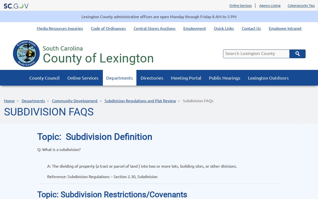
The guidance points to plats and recorded restrictions when land context is needed, without claiming a postal boundary.
Lexington ZIP Code Geography Changes Quickly
Town growth makes date and geography checks more important. Census Bureau QuickFacts estimated the Town at 25,729 people on July 1, 2025, after counts of 23,568 in 2020 and 17,870 in 2010. Those figures provide civic context only. They cannot allocate people to a ZIP, prove an address is in Town, or identify a resident. Annexation, an older directory date, a property-card tax year, and an online record posting period can all describe different moments.
Census Bureau QuickFacts for the Town of Lexington is shown in this Lexington ZIP code directory image.
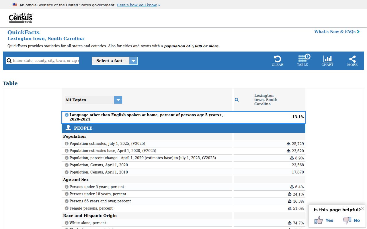
Use the Town estimate as context for changing development, then verify the actual address with USPS and the proper map custodian.
Note: No official parcel-by-parcel postal boundary map or verified ZIP realignment history was located for Lexington, so direct address verification remains necessary.
Historic Lexington Names Are Not ZIP Codes
Older Lexington record labels need the same care as a modern postal label. Lexington County was formed in 1785. According to the Town's history, the county seat moved in 1820 from flood-prone Granby to the present Lexington site near Twelve Mile Creek, and the Town incorporated in 1861. An early courthouse or community description can therefore refer to a place that does not match a current Lexington mailing address or ZIP code.
Historic place names can help identify the right archive or map, but they should never be forced into a modern delivery field. The State Archives and Town mapping sources are more useful for that context than a ZIP lookup. For a property trail, retain the legal description, TMS, and recorded plat reference alongside any old place name, then ask the custodian to verify a boundary or address assignment.